Nakuru County Travel Guide: Flamingos, Volcanoes and the Rift Valley Floor
Nakuru is the town where the Great Rift Valley stops being a geography-class term and becomes something you can walk into, cycle through and climb out of. In one county you get a flamingo-fringed soda lake, one of the world’s largest volcanic calderas, a national park you can explore on foot, and a colonial-era castle built to impress a woman who was never impressed.
Why visit Nakuru
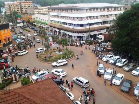
Nakuru town is Kenya’s fourth-largest city and the unofficial capital of the Rift Valley, sitting almost exactly on the valley floor at around 1,850 metres. That position is what makes the county so dense with natural drama: soda lakes formed by the same rifting that split the valley, volcanic craters left over from the same activity, and escarpments on both sides visible from the town centre on a clear day. Unlike a lot of Kenya’s big-name destinations, Nakuru rewards genuinely active travel – you can hike a crater rim, cycle through a national park, and rock-climb a volcanic tower, all in the same county, sometimes the same day.
Geology, prehistory and a little colonial history
Nakuru sits inside the Great Rift Valley, the tectonic fault system running down East Africa, and the county’s landscape is essentially a live geology lesson: Lake Nakuru, Lake Elementaita and Lake Naivasha are all shallow, alkaline lakes formed by the same rifting and volcanism that produced Menengai Crater and Mount Longonot nearby. Long before any of that was tourism, the area was home to Sirikwa pastoralists, later assimilated into Kalenjin communities – their habitation sites at Hyrax Hill, discovered by Louis Leakey in 1926 and excavated by Mary Leakey from 1937, are some of the more important prehistoric sites in East Africa, with occupation layers dated to roughly 3,000 years old.
The name Nakuru is generally traced to a Maasai term for a \”dusty place.\” Under British colonial rule the town became the administrative centre of the Rift Valley Province and a hub for European-owned farms in the surrounding highlands, which is the era that produced Nakuru’s best-known landmark – Lord Egerton Castle, built by a British baron on farmland he bought from the Delamere family, another name that looms large in the valley’s settler history.
Lake Nakuru National Park
Lake Nakuru was first gazetted as a bird sanctuary in 1960 and upgraded to full national park status in 1968, originally to protect the huge flocks of lesser flamingos that fed on the lake’s algae. That’s still the image most people associate with the park, but it’s worth knowing before you go: flamingo numbers here rise and fall with the lake’s water levels, and in years when the lake is high, most of the birds move to nearby Lake Bogoria or Lake Elementaita instead, returning to Nakuru when the water recedes and the algae blooms again. Don’t build a trip around a guaranteed flamingo photo – build it around everything else the park does reliably well.
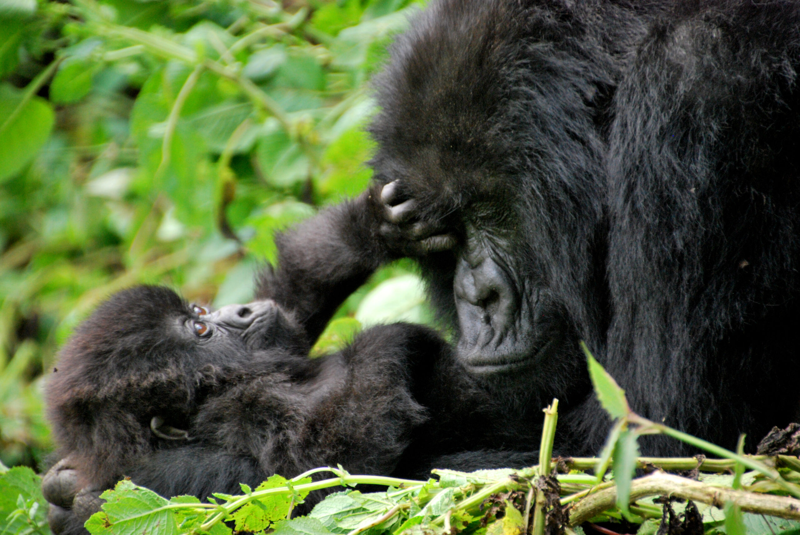
And that’s a lot. Nakuru became Kenya’s first government-protected rhino sanctuary in 1984, ringed by an electrified, 188 km fence originally built to keep poachers out rather than to pen the animals in. It now holds a genuinely healthy population of both black and white rhino – one of the most successful rhino recovery stories in East Africa – alongside lion, leopard, a growing number of cheetah, and Rothschild’s giraffe, translocated here from western Kenya from 1977 onward specifically because the species was running out of safe habitat elsewhere. Waterbuck are everywhere, and the park has a reputation for oversized pythons, which turn up draped over branches or crossing the roads with some regularity.
The park is compact by Kenyan standards, which works in your favour: Baboon Cliff and the \”Out of Africa\” viewpoint both give sweeping views over the lake and are easy to fit into a half-day game drive, and Makalia Falls in the park’s south makes a good lunch stop. Lake Nakuru is part of the Kenya Lake System in the Great Rift Valley, a UNESCO World Heritage Site shared with Lake Bogoria and Lake Elementaita, and it’s recognised as an Important Bird Area with over 400 species recorded.
Menengai Crater
Menengai is one of the largest intact volcanic calderas in the world – roughly 12 km across, with a rim standing over 2,300 metres above sea level, and it sits close enough to Nakuru town that the crater rim is barely a 10-minute drive (or a walkable hike) from the outskirts. It last erupted an estimated 8,000-10,000 years ago and is now dormant but geothermally very much alive: the visible steam plumes around the crater come from the Olkaria-adjacent Kenya Geothermal Development Company plant, which taps the same underground heat for power generation.
The crater rim gives panoramic views over Nakuru town, Lake Nakuru and, on a clear day, Lake Bogoria in the distance, and trails lead both around the rim and down into the forested crater floor. West of the crater is a cave used by Mau Mau fighters as a hideout during the 1950s independence struggle – a smaller, less-visited echo of the same wartime history found at Karura Forest near Nairobi. Locally, Menengai also carries older folklore: some Kikuyu traditions describe it as a spiritually significant site, and it remains a pilgrimage destination for some visitors seeking exactly that.
Hell’s Gate National Park
Hell’s Gate sits just south of Lake Naivasha, on Nakuru County’s southern edge, and it’s genuinely unusual among Kenyan parks: it’s one of only two in the country where you’re allowed to explore on foot or by bike rather than staying inside a vehicle, largely because it has almost no resident predators (leopard sightings are the rare exception). Established in 1984 and named after the narrow break in its cliffs, the 68 km2 park sits on the floor of the Rift Valley between the Longonot and Suswa volcanoes, and its main draw is Fischer’s Tower, a 25-metre volcanic plug that’s become a genuine rock-climbing destination, alongside the dramatic Ol Njorowa Gorge.
The standard visit starts with a cycle or walk from the main gate – roughly 9 km, mostly downhill, past zebra, giraffe, eland and buffalo grazing in the open – toward the gorge itself, where the trail turns into a scramble through narrow rock walls, past hot springs, with some sections needing rope assistance. It’s worth knowing if you’re a film buff: this gorge is one of the real-world locations that inspired Pride Rock and the wildebeest-stampede scene in The Lion King. On the park’s far side, the Olkaria geothermal spa lets you finish the day soaking in naturally heated, mineral-rich water.
Lord Egerton Castle
About 14 km outside Nakuru town, near Njoro, stands a genuine 52-room English-style castle – the kind of thing you don’t expect to find on the Rift Valley floor. Maurice Egerton, the fourth Baron Egerton, came to Kenya in 1920 after inheriting his title and settled on farmland bought partly from the Delamere family. As the story is usually told locally, his first, more modest house failed to impress a woman he hoped to marry, so between 1938 and 1954 he built a far grander one instead, importing British oak, Chinese tiles and Italian design details for a house modelled loosely on Tatton Hall in England. The relationship still didn’t work out – Egerton never married, and the barony ended with him – but the castle, and the agricultural school he founded on the same land, both outlasted the romance: that school became Egerton University, which still manages the castle as a heritage site open to the public since 2005, complete with a small petting zoo on the grounds.
Hyrax Hill and the Bomas of Nakuru
Hyrax Hill Prehistoric Site and Museum. A rocky spur about 4 km from Nakuru town, named for the hyraxes that once lived in its rock crevasses. Louis Leakey first noted signs of ancient habitation here in 1926; Mary Leakey led the major excavations from 1937, uncovering Sirikwa pastoralist settlements, Neolithic burial sites and stone tools spanning thousands of years of occupation. It’s a compact museum and open site rather than a polished visitor centre, and a local guide (a small tip is standard) makes the site much easier to read.
Bomas of Nakuru. Modelled on the better-known Bomas of Kenya near Nairobi, this is a cultural village displaying traditional homesteads, tools and artefacts from Kalenjin, Kikuyu, Luo, Luhya, Kisii, Maasai and other Kenyan communities – a useful, condensed introduction to the country’s cultural diversity if you won’t have time to visit each region separately.
More places to see in Nakuru County
Lake Elementaita. A smaller, shallower soda lake between Nakuru and Naivasha, part of the same UNESCO-listed Rift Valley lake system, generally quieter than Lake Nakuru and a reliable flamingo and pelican spot when Nakuru’s own flock has moved on.
Soysambu Conservancy. A private wildlife conservancy bordering Lake Elementaita and Lake Nakuru National Park, on land still linked to the Delamere family, offering game drives and walking safaris away from the national park crowds.
Subukia Shrine and waterfall. A Catholic pilgrimage site in the Subukia valley north of Nakuru town, with a shrine to Our Lady of Fatima and a waterfall on the same grounds – as much a scenic viewpoint over the valley as a religious site.
Nyayo Gardens. A small, central public park in Nakuru town, useful as an easy stop rather than a destination in itself.
The best hiking trails in Nakuru County
Menengai Crater rim and floor. The signature hike here: walk the rim for panoramic views over Nakuru town and the lake, or descend into the forested crater floor itself for a longer, shadier route – both are achievable in a half-day without technical gear.
Hell’s Gate Gorge walk. Usually combined with the cycle in from the main gate, the gorge section is a proper scramble – narrow rock walls, some rope-assisted sections, hot springs underfoot – finishing near the Devil’s Bedroom before the ride back out.
Fischer’s Tower. Technically climbing rather than hiking, but the approach and scramble around the base of this 25-metre volcanic plug is one of the more distinctive short routes in the park, with guides and basic gear available on-site for those who want to go up rather than just around.
Hyrax Hill nature trail. A short, easy walk across the prehistoric site itself, taking in the Sirikwa holes and hill fort remains along the way – more a historical walk than a workout, but genuinely worthwhile paired with the museum.
Lake Nakuru’s Baboon Cliff walk. Most of the national park has to be explored by vehicle, but the short walk up to Baboon Cliff (where permitted, and always with a ranger) is one of the few on-foot options inside the park, rewarded with the best elevated view of the lake.
Where to stay in Nakuru County
Nakuru’s hospitality splits cleanly into two categories: lodges inside or right on the edge of Lake Nakuru National Park for a full safari-lodge experience, and hotels in Nakuru town itself for a cheaper, more practical base.
Sarova Lion Hill Game Lodge. Set on Lion Hill inside the national park itself, this is the best-known lodge in the area – 67 chalet-style rooms with private terraces overlooking the lake, an eco-certified operation, spa, and direct access to game drives from the property.
Lake Nakuru Sopa Lodge and Lake Nakuru Lodge. Both sit inside or immediately adjacent to the park, offering the same convenience of waking up inside the wildlife area rather than driving in each morning.
Flamingo Hill Tented Camp. A tented-camp alternative inside the park for travellers who want a more classic safari-camp feel than a fixed lodge.
Lake Elementaita Serena Camp. Set on Lake Elementaita rather than Lake Nakuru itself, useful as a quieter base that still puts you within easy reach of both lakes and Soysambu Conservancy.
Nakuru town hotels. For a self-drive trip on a tighter budget, Nakuru town itself has a full range of mid-range hotels, useful as a base for Menengai Crater, Hyrax Hill and Lord Egerton Castle without paying lodge rates. Search hotels to compare current options directly.
Nakuru County at a glance
Nakuru County is large and geographically varied, and it helps to know roughly where things sit before planning a route.
- Nakuru Town. The county capital and Kenya’s fourth-largest city – your base for Menengai Crater, Hyrax Hill, Lord Egerton Castle and the national park’s main gate.
- Naivasha. The southern anchor of the county, built around Lake Naivasha and the gateway to Hell’s Gate National Park and Mount Longonot.
- Njoro. Home to Egerton University and Lord Egerton Castle, and part of the county’s wider highland farming belt.
- Molo. A cooler, higher-altitude farming area southeast of Nakuru town, known locally for dairy and potato farming rather than tourism.
- Subukia. North of Nakuru town, home to the Subukia Shrine and waterfall in a dramatic valley setting.
- Bahati and Rongai. Farming sub-counties on Nakuru town’s edges, mostly transit country between the town and the wider highlands.
A simple 2-3 day plan
Day 1. Morning game drive in Lake Nakuru National Park – rhino sanctuary, Baboon Cliff, Makalia Falls – overnighting at a lodge inside or on the edge of the park.
Day 2. Menengai Crater in the morning (rim walk or drive to the viewpoint), then Lord Egerton Castle and Hyrax Hill in the afternoon, basing yourself in Nakuru town for the night.
Day 3. Head south to Naivasha for a half-day cycling and gorge-walking trip through Hell’s Gate National Park, before returning to Nairobi or continuing on toward the wider Rift Valley.
Best time to visit
Nakuru follows Kenya’s general dry-season pattern: the driest, clearest stretches run from roughly June to October and again from January to February, which is also generally the best window for hiking Menengai and cycling Hell’s Gate without mud or slippery trails. Flamingo numbers at Lake Nakuru are governed by water levels rather than season specifically, so there’s no guaranteed month for the classic flamingo photo – if that’s the priority, it’s worth checking current conditions closer to your travel dates, or building in a side trip to Lake Bogoria as a backup.
Getting there and around
Nakuru town is roughly a 2.5 to 3-hour drive from Nairobi on the A104, one of Kenya’s best-maintained highways, making the whole county realistic as either a long day trip or a proper 2-3 night stay. Public matatus and buses run the route regularly, but a self-drive or hired car makes far more sense here given how spread out the attractions are – Menengai, Hyrax Hill and the castle are all short drives from town, while Hell’s Gate and Naivasha are closer to an hour further south. Compare car rentals if you’re planning to explore independently, or search flights if you’re combining Nakuru with a wider Kenya itinerary.